El Niño: How weather patterns shift
The weather phenomenon La Niña has characterised the last three years, and now its counterpart El Niño has returned in summer 2023. Travel Security Analyst Dominik Manal explains the effects.
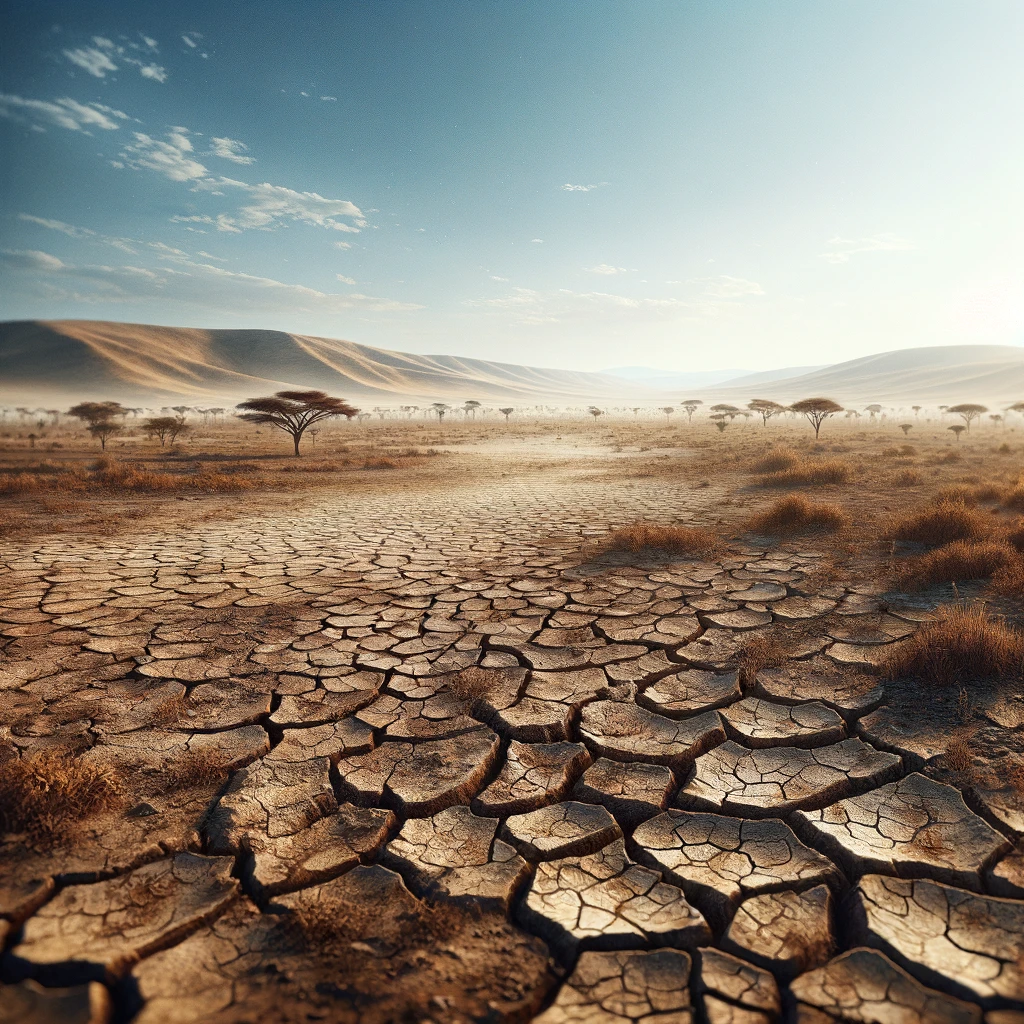
El Niño is characterised by a periodic warming of sea surface temperatures in the central and eastern equatorial Pacific. This warming disrupts normal weather patterns and leads to a cascade of atmospheric changes with far-reaching effects on the global climate, including changes in precipitation, temperature and storm patterns. The conditions are expected to last until the summer of 2024, when neutral conditions are expected to prevail again. The occurrence of El Niño has been linked to extreme weather events in the past year, such as heatwaves, droughts and wildfires in Australia, floods in Kenya, and droughts and floods in South America. Some examples of the impacts expected in 2024:
1. Ski Resorts and Mountain Regions
El Niño usually brings warmer temperatures and changes in precipitation patterns, which can have an impact on winter sports areas. Some ski resorts and mountain regions may experience less snowfall, which affects the quality of winter activities. In the Alps, on the other hand, El Niño usually results in colder winters and more snowfall. More snow than usual is also expected in the American Sierras, as well as in the southern Rocky Mountains. In contrast, less snow is expected in the northern Rockies.
2. Atlantic Hurricane Season
Tropical Storm Risk (TSR) has published the first long-term forecasts for the 2024 Atlantic hurricane season, predicting activity 30% above the near-term norm and 50% above the long-term norm. The team predicts the formation of 20 tropical storms, 9 of which will become hurricanes and 4 of which will develop into strong or severe hurricanes. The prediction is based on the expectation of warm sea surface temperatures in the main Atlantic developing region and the Caribbean in August-September 2024. El Niño was an important climate variable throughout the 2023 hurricane season, but its influence remains uncertain.
3. Destinations in the Desert
Although El Niño is often associated with increased rainfall, it can also lead to unpredictable weather conditions in dry regions. Favoured desert areas could be affected by flash floods or atypical humidity. A prime example is the Atacama Desert in South America, where unexpected blooms can occur in typically dry landscapes.
4. South America: Focus on Weather Pattern Shifts
In 2024, El Niño could lead to a change in weather patterns in South America, affecting countries along the west coast such as Peru and Ecuador. While above-average rainfall and the risk of flooding are expected in these regions, southern South America, including Argentina and Uruguay, could become drier.
5. Australia: Escalating Drought and Bushfire Risk
Australia, which has always been vulnerable to the effects of El Niño, could face more severe drought conditions and an increased bushfire risk in 2024. Travellers to Australia should be aware of fire risks, follow local advice and be aware of possible travel restrictions or evacuation measures.
While 2023 was the warmest year on record, 2024 could break records further. The recurrence and intensification of El Niño in conjunction with the overarching influence of climate change require a unified global response – not least because climate change could result in stronger El Nino events in the future. For example, the COP28 climate summit called for a restructuring of the energy industry. El Niño could result in higher transport prices for business and private travellers in the future, as well as increased travel restrictions for countries affected by fires, hurricanes, rain and flood disasters.

